![]()
© 2016 BVI NEWBIE. All Rights Reserved.
Parlance Media
BVI Newbie » Visiting » Beaches » Hike Virgin Gorda
At eight square miles and a population of around 4,500, VG is the largest of the islands after Tortola and Anegada. The southern section, known as Spanish Town, is the busiest and contains the main ferry terminal, airport and most of the resident population. The central section has few roads, is topographically challenging, environmentally sensitive and boasts one of BVIs major National Parks. The north eastern section comprises an arthritic finger of hills, deserted beaches and the odd exclusive yacht club and private island. VG is mesmerising and is a wonderful host to the hiker, but only on its own terms!
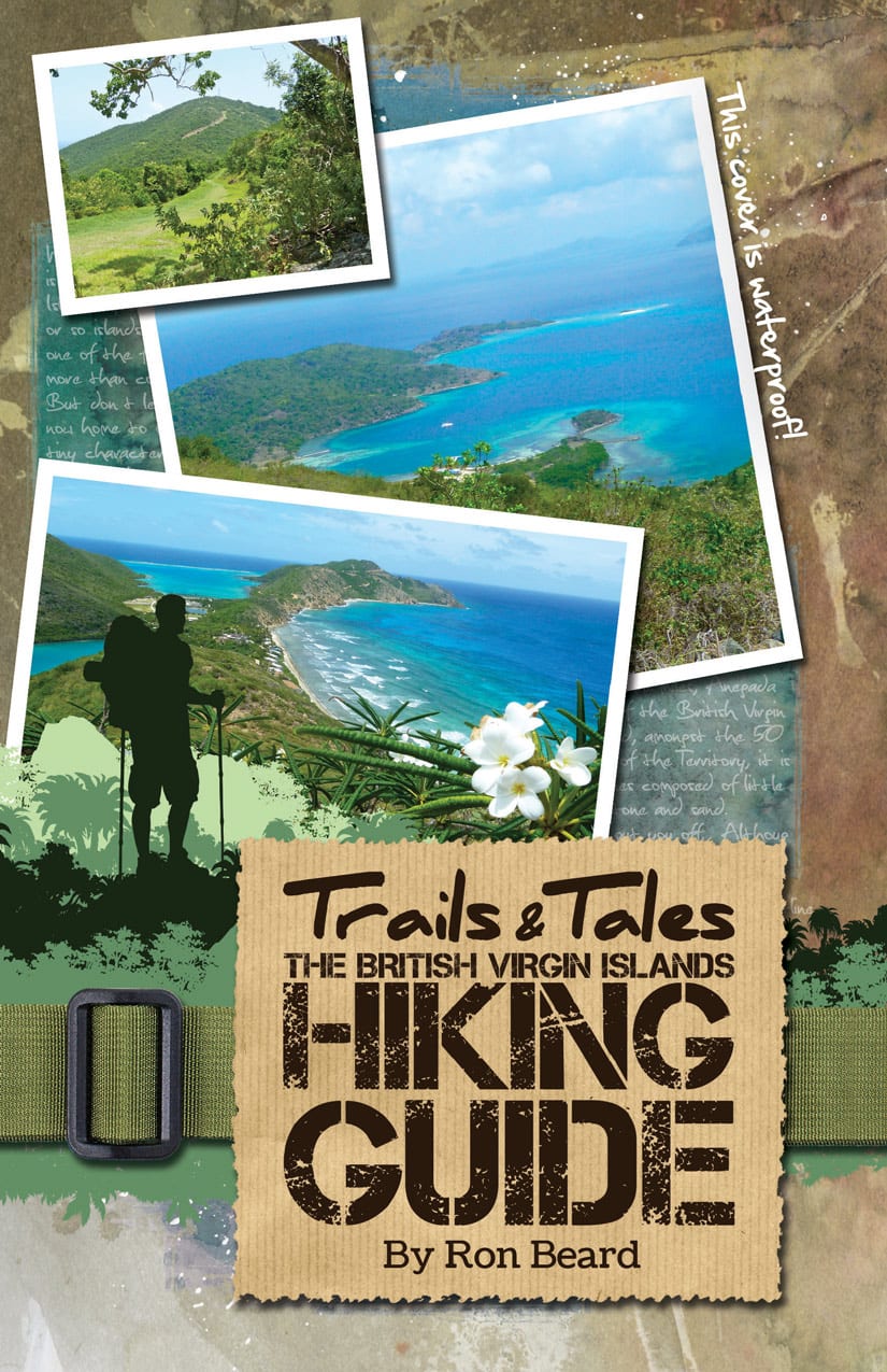
Of the three described in Trails & Tales Hiking Guide, Hike V3 is summarised here and the first challenge is to get to the start at Bitter End Yacht Club half way along that ‘arthritic finger’. Never fear, the North Sound Express high-speed ferry from Beef Island to BEYC is the answer and the scenic 30 min trip itself is worth it.
In fact the hike (3.5mi long and will take about 3.5 hrs) incorporates elements of two established circuits: Guy’s Trail and Alvin’s Heights and it is to those who conceived the routes and produced the original hand drawn sketch maps and accompanying notes that acknowledgement must be given.
Conveniently Guy’s Trail starts at the Yacht Club, heads north following the coast for 0.25mi and then suddenly veers right at a signpost and up a steep hill. The path is good and acknow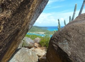 ledges features worth a pause on the ascent including a wonderful variety of tropical trees and magnificent views. Higher still look out for dancing lady orchids and sweet smellin
g frangipani trees whose USP is its luscious leaves that are irresistible to the caterpillars of the frangipani Hawkmoth. Moving forward and now at 400ft arrive at the summit of Biras Hill from which 360 degree mind-blowing views of Gorda Sound, Berchers Bay and Deep Bay can be had. Several paths offer a choice but the steep route down to Deep Bay, makes the most of the outing and after the effort required, the wel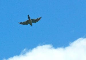
coming beach bar offers a mid-hike libation opportunity… if tempted.
Follow the path inland past the salt pond and a junction demands a decision: right, offers a direct route back to Bitter End or left (recommended), through the Biras Creek resort along a rocky beach and then on to the steep path signed to Alvin’s Heights. Negotiate your way through the seagrape and wild sage bushes and take a short detour left to Lovers Leap from where the views are spectacular. Return to the gravel path, follow it left carefully and in 10mins you’ll top out at a significant 450ft. Look out for the soaring killi-killi (American kestrel) and take in the 270 degree views of Bitter End in the distance directly north and Biras Creek and Oil Nut Bay north east which speak for themselves…wow!
From your eyrie follow the zig-zag path steeply down admiring the long distance views and appreciate the efforts of Alvin (its creator). Head for Biras Creek below, spot the dock and look left for the smarty pants YCCS (Yacht Club Costa Smeralda) but your route is straight ahead, on the Mangrove Trail, to the delights of Bitter End where a swift refreshment in The Crawl pub may be in order.
Hi,We know what it feels like to be a newbie, get extra information on moving to the island, finding a job and entertaining clients...
Hi,Keep up to speed with the latest island events and shenanigans.
Hi,Looking for somewhere to stay when on island? Whether you are hunting for your island home or just visiting, we can help you in your search...