![]()
© 2016 BVI NEWBIE. All Rights Reserved.
Parlance Media
BVI Newbie » Visiting » Beaches » Hike Jost Van Dyke
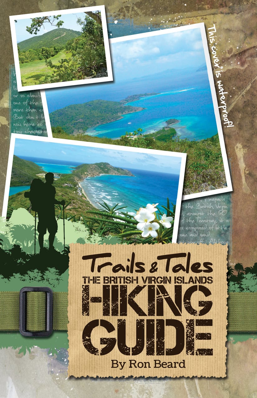
This small but perfectly formed island occupies three square miles of the earth’s surface, lies some four miles north-west of Tortola and is accessed either by the New Horizon ferry from the West End ferry terminal or by your own craft. Whichever mode is chosen you’ll probably head for either the dock at Great Harbour or one of the several white sand beaches that dot the coastline. While Trails & Tales, Hiking Guide describes two hikes, the focus of this taster is the full-on island traverse from east to west (Hike J1). While the fitter of you may wish to walk the undulating 3mi east from the ferry terminal to Foxy’s Taboo Bar and Restaurant at the far east end of the island, those who prefer to preserve their energy for the real highlights of this experience, may just want to grab a cab at the ferry terminal and negotiate a good price! Towards the end of the short outward trip, after a steep section above Little Harbour and at a junction on the left, look out for superb distant views north towards Diamond Cay and Little JVD…remember this point for later (see below).
Once at Taboo you have a choice of two side-trips: first, a self-propelled visit to Little JVD to take in some of its fascinating history; second, a 0.5mi meander to The Bubbly Pool. However, recommended here are …both! To get to the start of the Ridge Track (the main trans-island hiking route) return by foot on the outward road 0.5mi up steep zig-zag sections to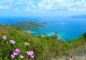 the point described above and turn right at its highest point towards Evening Star Villas. This is an unsurfaced but good track, albeit very steep in some places, so stop beyond the enormous blue water tank and take in the views north towards Diamond Cay and Little JVD. By the verges, look out for the purple allamanda seasonally surrounded by squadrons of sulphur and great white butterflies.
It’s only 1.25mi to the summit from here so keep going on the track looking out either side for views and eventually a small path on the left which links down to Great Harbour. The summit of Majohnny Hill (at all of 1,053 feet) is a telecoms station festooned with towers and thus is off limits, but the collection of boulders near the security fence offer a superb strategic viewing point over Great Harbour and beyond left to Tortola and right towards St John in the USVI.
From here it’s all downhill, but be careful during the first 0.25mi since the track is very steep and unstable underfoot. Look west and spot the Tobago Islands (BVI National Park), home of colonies of the famous frigate bird and a popular diving location. The track eventually levels out and after 0.5mi look out for another steep track down left. This is a short-cut from or back to the ferry terminal/Great Harbour…but persevere on the main track, possibly accompanied by the gregarious grey kingbird and look for a shady spot at the top of a shallow gradient beneath a distinctive turpentine (Gumbo-limbo) tree. Sit back, have a rest…enjoy the moment…you’re making memories!
From here the way west is easy and a meander left off the main track some 0.4mi ahead, is worth the minimal effort required to capture a view down to White Bay, its beaches surrounded by all manner of craft and its bars temporarily inundated by their human cargo. From here contour round right, back on to the main track to pass a house and some noisy dogs and then down a steep concrete road to a salt pond where you turn right and follow the track to the west end of White Bay. The rest is up to you…but try to make it back east (taxi by request at any bar) in time for a brief look around characterfully quaint Great Harbour and its local craft workshops and other businesses fronting the beach …and still make the last ferry back to West End.
Hi,We know what it feels like to be a newbie, get extra information on moving to the island, finding a job and entertaining clients...
Hi,Keep up to speed with the latest island events and shenanigans.
Hi,Looking for somewhere to stay when on island? Whether you are hunting for your island home or just visiting, we can help you in your search...